
AFRICA: A satellite of mapping maintained and operated by the European Space Agency has showed role creating some of the most correct ocean current maps ever.
While the Gravity and Ocean Circulation Explorer satellite‘s mission is long over – it burned up on re-entry into Earth’s atmosphere in 2013 after almost five years in orbit – the GOCE project’s legacy lives on. The data the satellite collected has been invaluable in creating these new ocean current maps, and scientists revealed Thursday at a UN conference in Paris just how much information was gleaned from the data that GOCE sent back down to Earth.
The satellite didn’t detect and observe the ocean current directly. Instead is precision instruments were able to measure the gravity of the Earth, enabling scientists to create a computer model of what the oceans of the planet looked like at rest. Doing so unlocked the ability to observe how gravity affected ocean currents; it’s hard to isolate how currents and gravity interact in practical terms because so many other forces can interact with ocean current, sending them off from the gravity-established pattern. The Earth’s gravitational pull actually fluctuates from one region of the planet to the other thanks to the uneven distribution of mass beneath the planet’s crust and in its core, scientists say.
The new precision model crated from the GOCE data is invaluable in gaining deeper understanding of the climate of the planet, considering how the oceans transport something close to 30 percent of the total of the heat present on the Earth’s surface. Circulating ocean waters regulates the climate, transporting heat to high latitudes from lower ones on the surface of the water; meanwhile, warmer current that reach high latitudes then cool off, flowing down deeper under the ocean surface as they flow towards the equator once more.
A good example of this convective current is the Gulf Stream, a current that carries warm waters from the Gulf of Mexico north and east. This helps to keep European coastal waters slightly warmer than they would be at the same latitude in the North Pacific, scientists say.
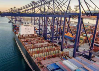
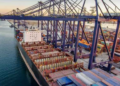
Karachi Port sets 138-year cargo handling record
KARACHI: Pakistan's maritime sector has achieved a major milestone as Karachi Port set a new record in its 138-year history...