

HARROW: Our planet’s oceans absorb over 25 percent of the carbon dioxide emitted by the burning of fossils, fuels and cement production. Over time, the increased input of carbon dioxide renders the oceans more acidic and makes conditions harsher for some types of marine life, so the point that, over the next century, the effects on some ecosystems could be severe. Given humanity’s dependence of many food resources from the ocean, the process of ocean acidification needs to be understood.
Ways to do so are being established by an international team led by Dr. Jamie Shutler of the University of Exeter’s Penryn Campus in Cornwall, in the United Kingdom. According to a University of Exeter statement, the team also includes researchers from the Plymouth Marine Laboratory, Institut français de recherche pour l’exploitation de la mer (lfremer), and the ESA.
The new methods entail the use of satellites to study ocean acidification, including the ESA’s Soil Moisture and Ocean Salinity sensor (SMOS), launched in 2009, and NASA’s Aquarius, launched in 2011. The determination of ocean acidification employs two measurements obtained by the satellites: ocean temperature measured by thermal cameras and salinity measured by microwave sensors. These methods allow ocean acidification to be evaluated over greater areas and more rapidly. Previous, Earth-bound techniques rely upon instruments aboard research vessels, limiting the area that can be studied.
“Satellites are likely to become increasingly important for monitoring ocean acidification, especially in remote waters. We are pioneering this data fusion approach so that we can observe large areas of Earth’s oceans, allowing us to quickly and easily identify those areas most at risk from increasing acidification,” Shutler said.
“It is now time to evaluate how to make the most of satellite and in situ data to help us understand ocean acidification, and to establish where remotely-sensed data can make the best contribution,” said Dr. Peter Land of the Plymouth Marine Laboratory.
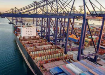
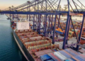
Karachi Port sets 138-year cargo handling record
KARACHI: Pakistan's maritime sector has achieved a major milestone as Karachi Port set a new record in its 138-year history...