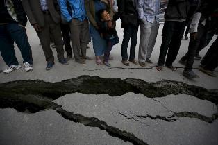
MEXICO: Scientists say they don’t known when the next major earthquake will strike the Northwest U.S., but they’re getting a better idea of where it will hit following extensive mapping of the region’s tectonic plate.
A team of researchers says it’s almost finished the first complete mapping of the Earth’s mantle beneath the undersea Juan de Fuca plate, which is diving under the Pacific Northwest and presenting Portland, Seattle and Vancouver with a risk of a large earthquake and possible tsunamis.


A quake along the Cascadia fault line, where the 700-mile-long plate slides under Canada and the U.S., is at least 70 years overdue, the researchers say.
The flowing of the mantle 100 miles beneath the Juan de Fuca plate influences the plate’s movement, they explain.
In a $20 million effort known as the Cascadia Initiative, 70 seismometers were place along the plate and gathered data for 10 months, measuring the plate’s interaction with the mantle beneath.
“This is the first time we’ve been able to map out the flow of mantle across an entire plate, so as to understand plate tectonics on a grand scale,” says Richard Allen of the University of California, Berkeley’s department of earth and planetary science.
“Our goal is to understand large-scale plate tectonic processes and start to link them all the way down to the smallest scale, to specific earthquakes in the Pacific Northwest,” says Allen, lead author of a study appearing in the journal Nature Geoscience.